The Challenge
The Town of Silverton, Colorado is located at 9,302 feet above sea level, near the headwaters of the Animas River, in an extinct volcanic caldera that supports unique hydrological conditions which wetland environments. Following the Supreme Court decisions in Sackett v. Environmental Protection Agency and subsequent revisions to the definition of waters of the U.S., the Town of Silverton began exploring options to protect non-jurisdictional wetlands. The changing status of federal wetlands regulations, along with an outdated land use planning code that created uncertainty and prolonged review for landowners seeking to build or develop their properties, prompted the Town to undergo a town-wide wetland mapping effort and review of existing and potential ways to balance environmental quality with private property rights and the need to develop more housing to support the local economy.
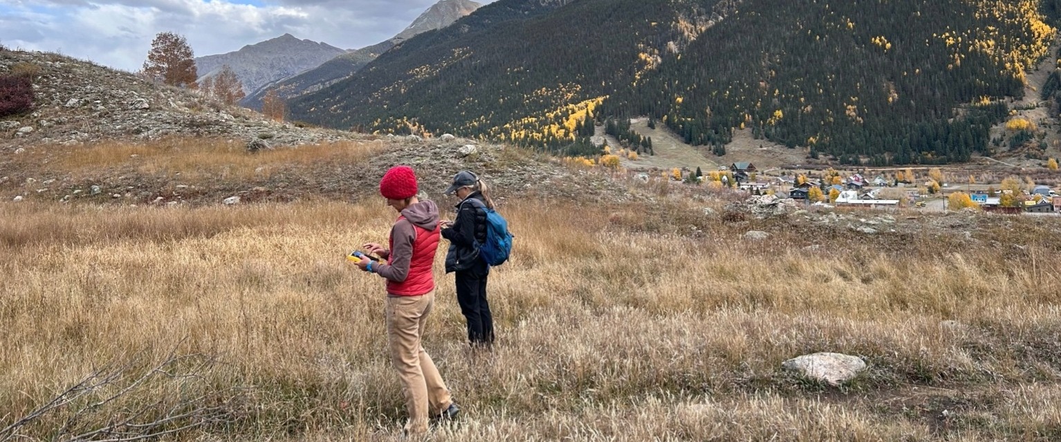
Our Solution
Spheros Environmental (formerly Ironwood Consulting) was contracted by the Town to inventory all wetlands and waters within the town limits to assist with evaluating options for a wetland protection program. Ironwood performed desktop analyses and field-based delineations to facilitate mapping, resource classification, and preliminary jurisdictional status of all aquatic resources. Ironwood presented their findings and recommendations at multiple Board of Trustees meetings and developed an interactive web-based ArcGIS StoryMap. The outcome of the wetland inventory allowed the Town to review pending development permits and provide a public participation process regarding benefits and limitations of incorporating wetland protection into Town land planning policy and processes. Ultimately, the Town, under the guidance of Ironwood is advising its residence to pursue jurisdictional determinations from the USACE and to coordinate with the State of Colorado on Reg 87 authorization requirements.
Link to StoryMap: https://storymaps.arcgis.com/stories/308bf310702c4210bee61a30e26f9f47
Sole-Source Contractor

Results +What makes this unique
Spheros Environmental created a detailed interactive StoryMap outlining the physical, ecological, and historic conditions as they pertain to wetlands and waters. This publically available tool allows Town residents and property owners to view delineated wetland boundaries and learn about federal and state regulatory frameworks that apply to potential development and land uses.
The proposal to delineate and regulate wetlands and water resources was highly contentious and controversial, taking up much of the Town Council meeting agendas. Spheros (Ironwood) project staff were called upon to provide technical information and guidance during meetings to both the Town Council and to the public to help provide factual context to aide in the discussion and decision making process.
High-resolution aerial imagery from the 2022 wet season was used to analyze where potential wetlands may be, and to refine wetland boundaries based on detectable “greenness” and field verification. This allowed us to detect wetlands that are small in size, fall within forested areas, or have experienced multiple years of extreme drought conditions and may not have been detected during coarser scale aerial wetland mapping efforts, such as the NWI.
Project Experts