The Challenge
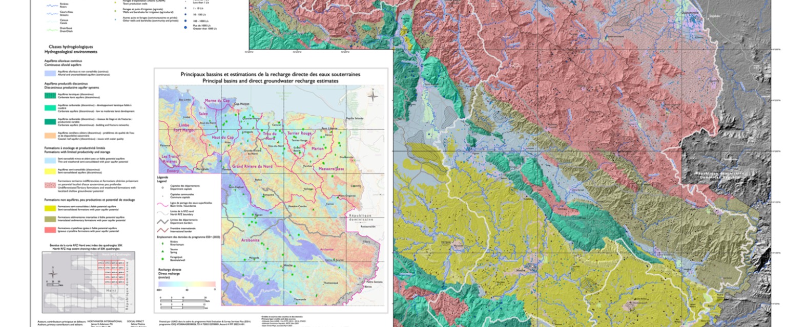
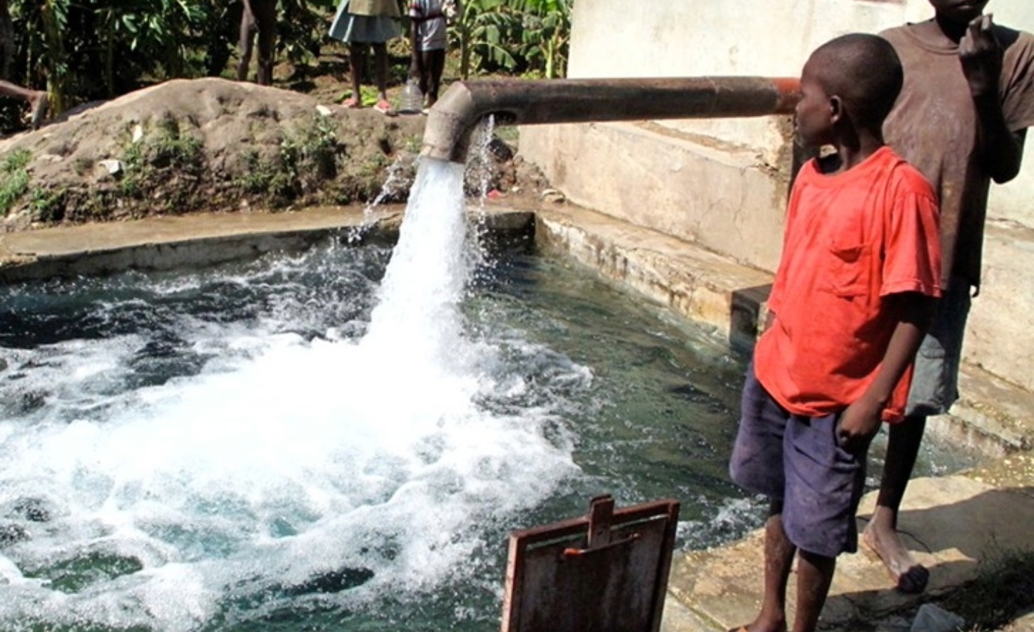
Groundwater is the primary source of water supply for communities, agriculture, and economic activity across Haiti’s Northern region, yet the resource is poorly characterized and increasingly stressed by population growth, climate variability, land-use change, and declining water quality. Decision-makers lacked reliable, spatially resolved information on aquifer extent, recharge, abstraction, and vulnerability to guide water infrastructure investments and protect long-term water security. Addressing these knowledge gaps was essential to support effective planning, risk reduction, and sustainable groundwater management within priority investment areas.
Our Solution
Spheros Environmental (formerly Northwater International) led a comprehensive aquifer mapping and assessment program for the North RFZ, integrating large-scale data synthesis with targeted field investigations. The approach combined refined geological and hydrogeological mapping, population and water-demand analysis, groundwater recharge modeling, hydrochemical and isotope investigations, and abstraction estimation to characterize aquifer systems and their sustainability. Field data collection filled critical gaps and strengthened interpretation of groundwater–surface water interactions, while results were synthesized into decision-support tools, including a hydrogeological map and interactive web-based data platform.
Prime environmental consultant
Results +What makes this unique
The assessment differentiated 50 aquifer systems across the study area, identified principal aquifers supporting domestic and agricultural water supply, and quantified recharge, abstraction, and vulnerability at basin and aquifer scales. By integrating isotope hydrology, recharge modeling, and abstraction analysis at a regional planning scale, the project provided an unprecedented, actionable understanding of groundwater dynamics in northern Haiti. The results establish a durable technical foundation for groundwater protection, climate resilience planning, and future water infrastructure investments.
Project Experts