The Challenge
Population growth and expanding economic activity along the Western Highway corridor in the Cayo District have placed increasing pressure on existing water-supply infrastructure, raising concerns about the long-term reliability and sustainability of available water resources. Communities including San Ignacio, Benque Viejo, Belmopan, and surrounding towns face rising demand for potable water to support municipal growth, commercial development, and regional planning, while surface-water sources and existing groundwater supplies are subject to seasonal variability, limited capacity, and vulnerability to contamination. In this context, identifying large, reliable, and sustainable groundwater sources was critical to ensuring future water security, guiding infrastructure investment, and avoiding costly or short-term solutions that could constrain regional development.
Our Solution
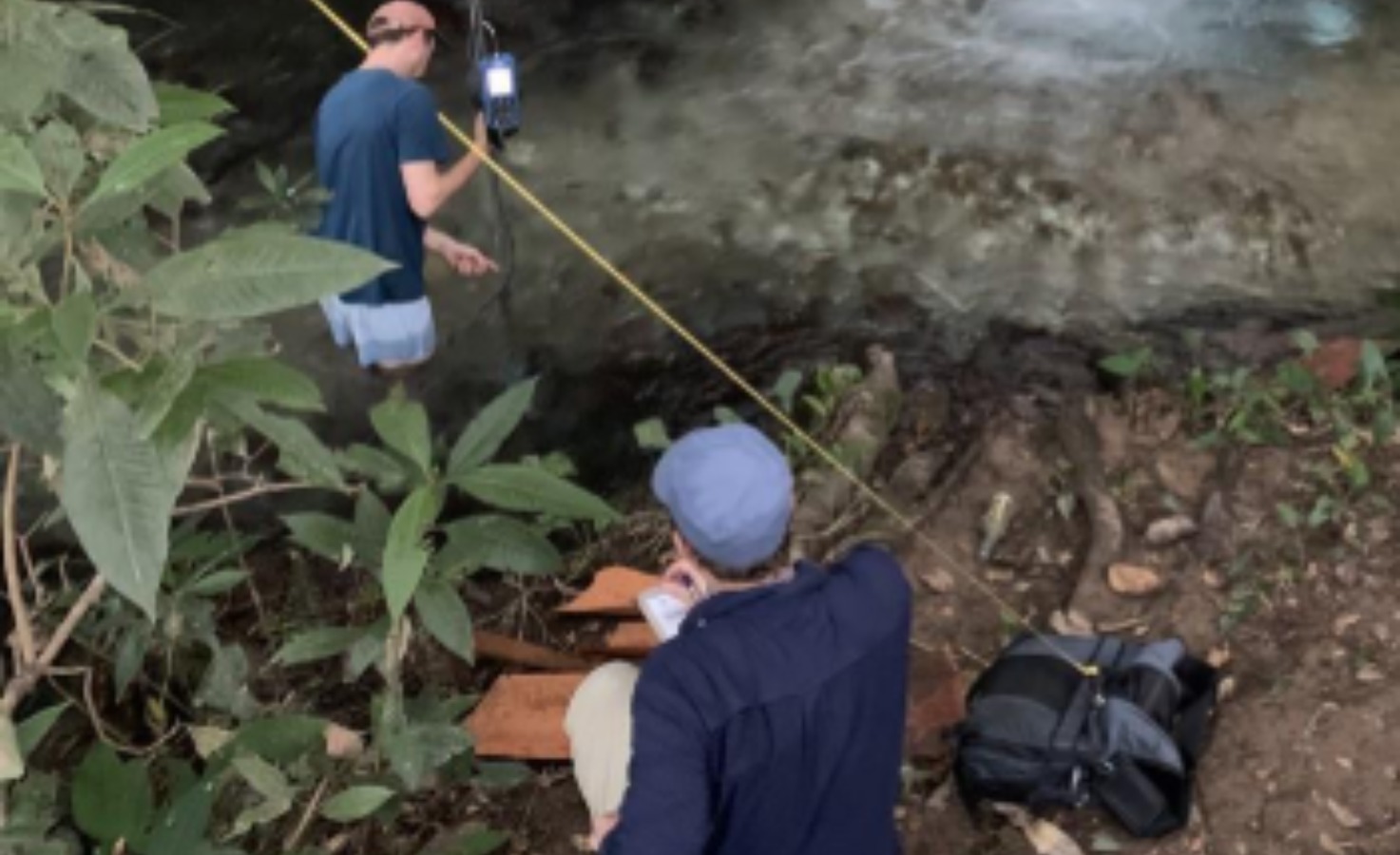
Northwater applied an integrated hydrogeologic assessment framework that combined regional data synthesis with targeted field investigations to characterize groundwater availability and sustainability along the Western Highway corridor. The approach incorporated geological and structural mapping, well and spring data evaluation, hydrochemical and isotope analyses, and passive seismic geophysical methods to define aquifer architecture, recharge processes, and hydraulic connectivity. This phased methodology allowed uncertainties to be systematically reduced and guided the identification of priority areas for groundwater exploration.
Prime environmental consultant
Results +What makes this unique
The study differentiated three regionally significant aquifer systems—the Barton Creek Limestone, El Cayo Carbonate, and localized alluvial aquifers—and identified multiple high-potential zones for groundwater development. By integrating isotope hydrology and geophysics at an early planning stage, the project provided a level of confidence in aquifer connectivity and sustainability not typically achieved prior to exploratory drilling, directly informing the design of the subsequent geophysical and drilling program.
Project Experts